Looking for your way around the lake?
Look no further! Below are a handful of incredibly useful maps to orient yourself to Pequawket Lake, the local community, and the greater watershed. If you know of a map of our region that would be a useful inclusion on this page, please Contact Us to let us know!
Click the maps below to enlarge!
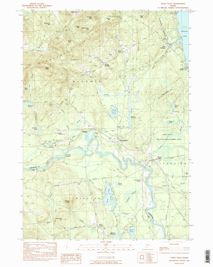
This is the USGS Topographical Map of the Steep Falls area.

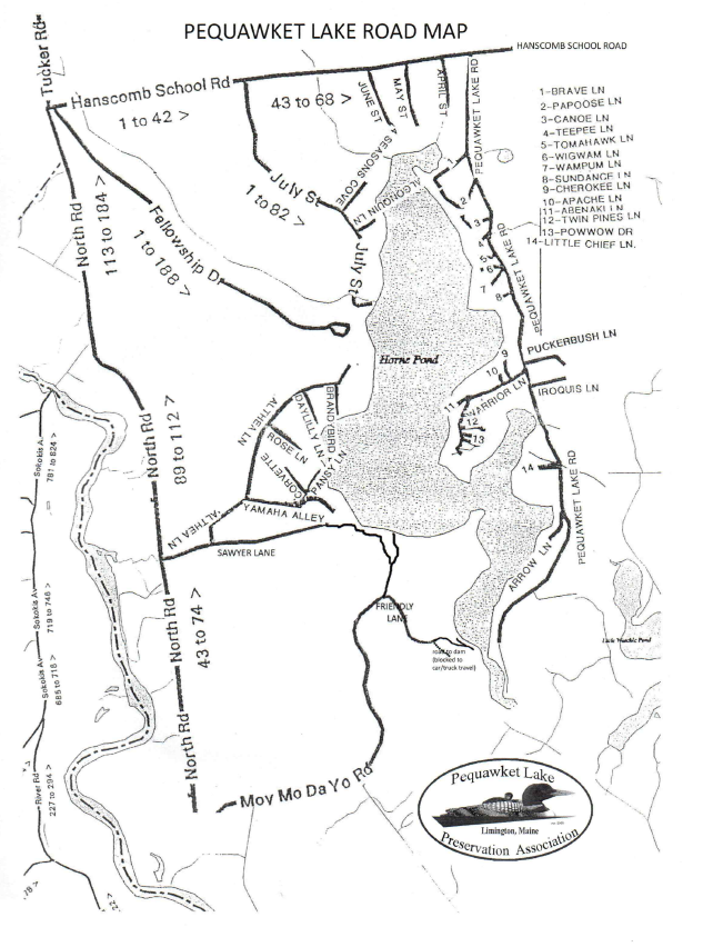
A detailed look at the roads servicing the Pequawket Lake Community.

An overhead view of the larger watershed of Pequawket Lake.
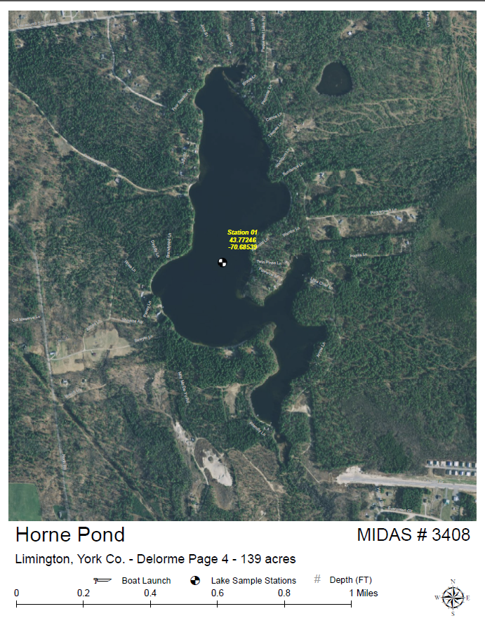
Overhead view of the water quality sampling station used for data collection.
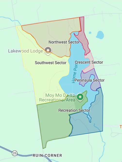
This is a digital version of the Sectors of Pequawket Lake based on the original map designed by the authors of the book, "From Horne Pond to Pequawket Lake: Fact, Folklore, and Camp Cuisine"